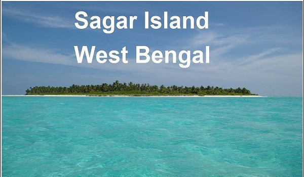
Sagar Island in West Bengal, where the famous Gangasagar Mela is held every January, is now being affected by climate change.
Sagar Island
- Sagar Island, also called Gangasagar or Sagar Island, is located in the Ganges Delta, situated on the continental shell of the Bay of Bengal.
- Location: Sagar Island is located in the Ganges Delta, situated on the continental shell of the Bay of Bengal.
Sagar Island
Geographical Features
- The Muriganga River separates the Batlasagar and Mahisani islands.
- The island is classified under the sand dunes, which also includes Mahisani and Ghoramara islands.
- Even though it is a part of the Sundarbans, it does not have tiger habitat, mangrove forests and other small river tributaries of the Sundarbans delta.
- Religious significance: Sagar Island is a major Hindu pilgrimage site, where the Gangasagar Mela is held every year during Makar Sankranti, which is the second largest human gathering in the world.
- The Kapil Muni Temple located on Sagar Island is a major pilgrimage site, which is an important religious center for devotees.
Gangasagar Mela
- It is considered to be the second largest human gathering in the world after Kumbh.
- This fair is held every year during Makar Sankranti.
- The fair is held on Sagar Island.
- It has been mentioned in Indian epics such as Ramayana and Mahabharata, which dates its existence back to 400 BC.
- Devotees visit the Kapil Muni temple after taking a dip in the Ganga.
Kapil Muni
- Kapil Muni or Maharishi Kapil is a Vedic sage who is considered to be the first propounder of the Samkhya system of Indian philosophy.
- He lived in the Indian subcontinent around the sixth or seventh century BCE.
- Maharishi Kapil preached the process of attaining liberation through bhakti yoga, which followers still practice today as a form of meditation and sadhana.
Effects of Climate Change
- Sagar Island is a climate change hotspot: Sagar Island has become an example for climate scientists, reflecting India’s climate future.
- Rapid coastal erosion: The sea level in the Sundarbans has risen by an average of 3 centimetres (1.2 in) per year, and 12% of the shoreline has been lost in the last 40 years.
Causes of Coastal Erosion
- Human intervention: Deforestation of sand dunes and vegetation for fair ground expansion.
- Violation of coastal regulation zone: construction activities on Sagar Island.
- Reduction in river water flow: Land loss due to reduced sedimentation from the Ganga-Meghna-Brahmaputra river system.
- Increase in number of pilgrims: Increase in water pollution during Gangasagar Mela.

