
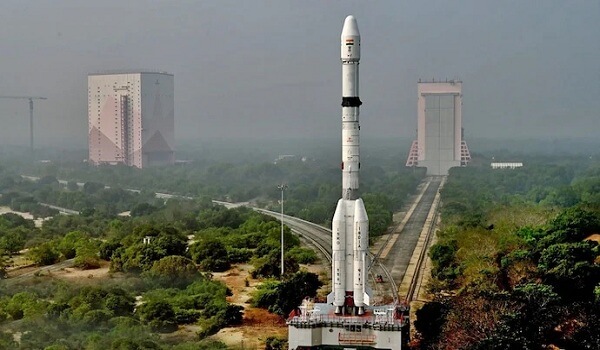
The Indian Space Research Organisation (ISRO) will launch the NVS-02 satellite through a Geosynchronous Satellite Launch Vehicle (GSLV) as part of its 100th mission in January 2025.
NVS-02 Satellite
- NVS-02 is the second in the series of India’s second-generation navigation satellites and the ninth satellite of the NavIC system.
- NavIC (Navigation with Indian Constellation) consists of a total of 7 first-generation satellites.
- NVS-01, the first second-generation satellite, was launched on 29 May 2023.
- Launch Vehicle: NVS-02 will be launched through a GSLV Mark II rocket.
Key Features
The NVS-02 satellite will have two types of payloads
- Navigation Payload – for precise positioning and timing services.
- Ranging payload – for position and motion tracking of the satellite.
Manufacturing and Testing
- The satellite has been designed, developed and integrated at UR Satellite Center (URSC).
- It underwent satellite level thermovac tests during November-December 2024.
- Dynamic testing was successfully completed in December 2024, proving it capable of withstanding the dynamic loads encountered during launch.
Objectives
- Strengthening India’s precision navigation system.
- Providing high quality positioning services for strategic and civilian uses.
NavIC and Future Prospects
Advanced Security and Prospects
- The second generation NavIC satellites incorporate advanced encryption for secure communications.
- Currently NavIC is a regional system, but there are plans to expand it globally in the future.
NavIC’s second generation satellites
- Third frequency (L1): Better coordination with other navigation systems from L1 frequency along with L5 and S.
- Strong encryption: To make communication completely secure.
- Long mission life: 12+ years (1st generation: 10 years).
NavIC
- NavIC (Navigation with Indian Constellation) is India’s indigenous regional satellite navigation system, developed by ISRO.
- It was earlier known as IRNSS (Indian Regional Navigation Satellite System).
- It provides accurate positioning, navigation and timing services in India and surrounding regions.
- It is interoperable with global navigation systems like GPS, GLONASS, Galileo and BeiDou, increasing its reliability and utility.
Need for NavIC
- National security: An independent and secure navigation system to reduce dependence on foreign systems (such as GPS) in times of crisis.
- Improved regional navigation: Provides high accuracy, especially for South Asia, which is not available in global systems.
- Civil use: NavIC is useful in areas such as agriculture, transportation and disaster management.
Major Satellite Navigation Systems of the World
There are currently four major global satellite navigation systems
- US: GPS (Global Positioning System)
- Russia: GLONASS (Global Navigation Satellite System)
- China: BeiDou
- European Union: Galileo