NavIC Currently Lacks Minimum Satellites
for Independent PNT Services
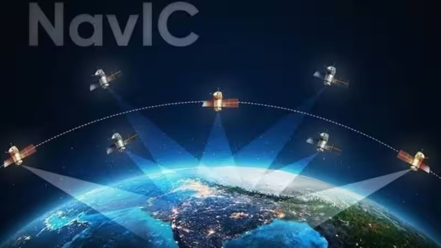
The Government has informed Parliament that the Indian
Space Research Organisation (ISRO)'s Navigation with Indian Constellation
(NavIC) system currently does not have the minimum number of operational
satellites required to provide fully independent Positioning, Navigation and
Timing (PNT) services. At present, only three satellites are transmitting
navigation signals.NavIC is India's indigenous regional satellite navigation
system, designed to provide accurate positioning and timing services over India
and the surrounding region. A fully operational constellation requires a
minimum number of functional satellites to ensure continuous, reliable, and
independent navigation coverage.
Why Can NavIC No Longer Provide Standalone
Navigation?
Present Status
¨
Of the 11 NavIC
satellites launched, eight remain functional. However, only three currently
broadcast navigation signals, while the remaining five support one-way
messaging, leaving the constellation below the minimum four satellites required
for standalone PNT services.
¨
Timing services continue
to remain operational, ensuring uninterrupted support for applications
requiring precise time synchronisation.
Reasons
¨
Ageing First-Generation
Satellites: Several first-generation IRNSS satellites have exceeded their
design life or suffered degradation of critical onboard systems, particularly
atomic clocks.
¨
Failure of IRNSS-1F: The
latest setback occurred after IRNSS-1F lost its remaining functional atomic
clock, rendering it incapable of providing navigation services.
¨
Delay in Satellite
Replacement: Although ISRO has initiated deployment of second-generation
Navigation Satellite (NVS) satellites, NVS-02 could not be placed in its
intended orbit due to a propulsion anomaly, delaying restoration of the full
constellation.
Standalone vs Multi-Constellation
Navigation
¨
While NavIC currently
cannot provide independent navigation services, the impact on most civilian
users remains limited because modern receivers generally operate on
multi-constellation GNSS, combining signals from systems such as GPS, Galileo,
GLONASS and NavIC.
Why Does NavIC’s Standalone Capability
Matter?
¨
Strategic Sovereignty:
Ensures assured navigation and timing services independent of foreign GNSS,
particularly during conflicts, emergencies or denial of external services.
¨
Critical National
Infrastructure: Supports applications such as real-time train tracking, fishing
vessel communication, vehicle tracking, disaster response, dissemination of
Indian Standard Time (IST) and future integration with sectors such as aviation
and intelligent transportation systems.
¨ Reliable Indigenous PNT Services: Ensures uninterrupted navigation and timing support for critical civilian, commercial and strategic sectors.
¨Technological Self-Reliance: Strengthens India’s indigenous space-based navigation ecosystem and advances the vision of Atmanirbhar Bharat in strategic technologies.