BEL and Esri India signed a Memorandum of
Understanding in New Delhi to collaborate on Geographic Information System ,
Location Intelligence, and GeoAI solutions for the defence sector
¨
Bharat Electronics
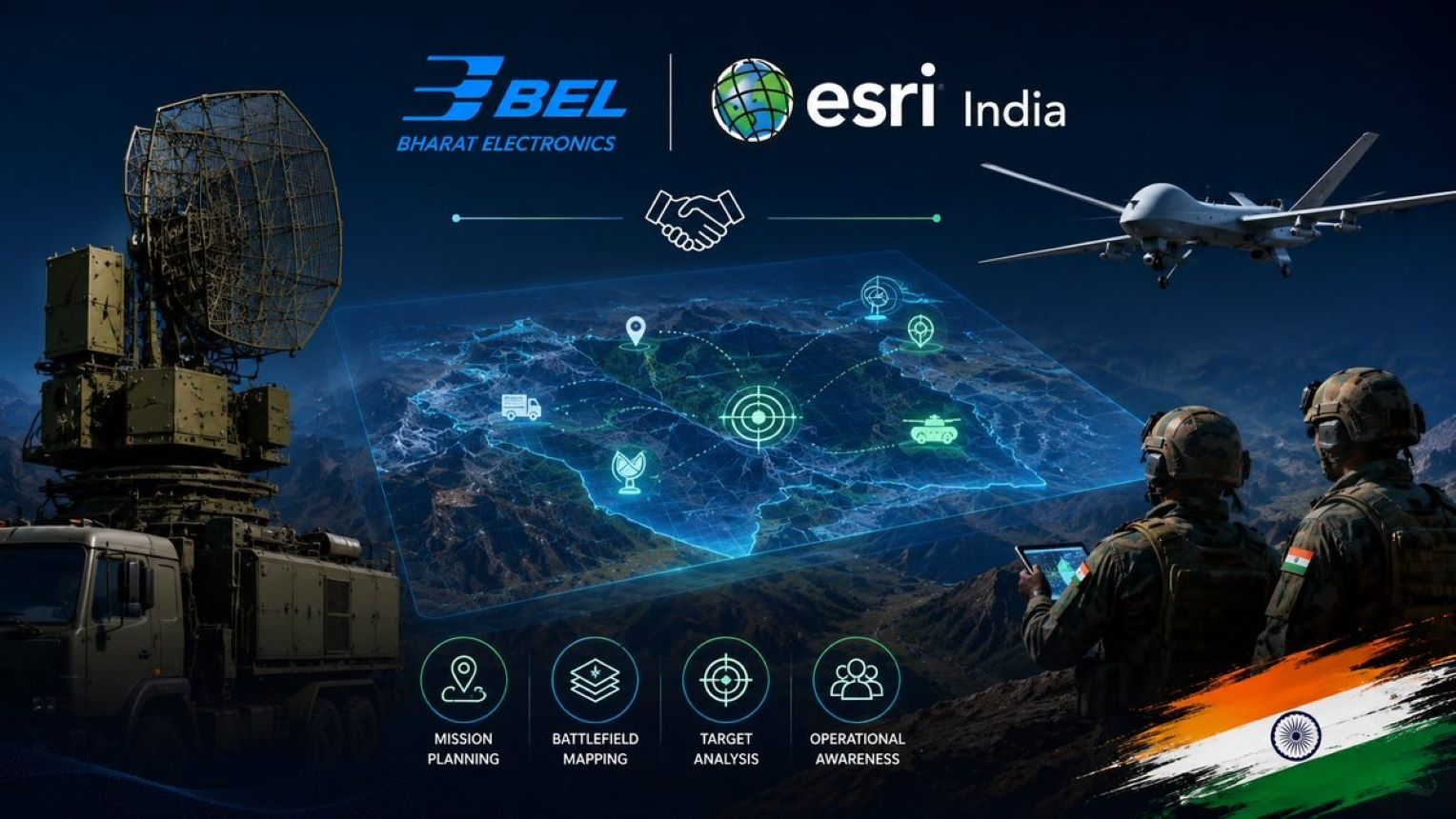
Limited (BEL) and Esri India signed a Memorandum of Understanding (MoU) on 3
August 2026 in New Delhi to collaborate on Geographic Information System (GIS),
Location Intelligence, and GeoAI solutions for the defence sector.
¨
The agreement covers
joint efforts in geospatial capabilities, defence electronics, systems
integration, and training support for in-house development using the Indo
ArcGIS platform.
¨
Geographic Information
System (GIS) is a computer-based framework used for capturing, storing,
analysing, and displaying spatial data.
¨
In defence applications,
GIS is used for mapping, terrain analysis, asset tracking, mission planning,
and operational coordination.
¨
Location Intelligence
combines geographic data with analytical tools to support better
decision-making and strategic planning.
¨
GeoAI refers to the use
of Artificial Intelligence (AI) techniques with geospatial data for pattern
detection, prediction, and automated analysis.
¨
BEL is a public sector
defence electronics company under the Ministry of Defence.
¨
Esri India is the Indian
arm of Esri, a global Geographic Information System technology company.
¨
The MoU strengthens the
partnership between the two organisations for developing advanced
defence-related geospatial solutions.
 in Amaravati.jpg)
 and Safran Aircraft Engines.jpg)
 signed a Memorandum of Understanding (MoU) with the Satyajit Ray Film and Television Institute.jpg)